
Short answer: the Manuel Antonio National Park map is small and simple. One public entrance 7 km east of Quepos, one wide main trail running inland, four walking trails branching off it, and three beaches — about 8 km of trail in total, and roughly five hours if you walk all of it. You do not need to be fit. You do need to know which trail to walk first, because that is what decides whether you see a sloth or walk past one.
Plan your visit with a certified guide: book a Manuel Antonio tour for December 2026 · WhatsApp +506 8514 1361 — ask us anything about the map before you buy a ticket.
There is one public entrance, and SINAC places it 7 kilometres east of Quepos, at the end of the main Quepos–Manuel Antonio road, next to Playa Espadilla.
This matters more than it sounds. The road ends at the beach, and the ticket control is a short walk inland from there. Every trail on the map starts from that single point — there is no second gate, no back entrance, and no way to enter from the beaches inside the park. If a map or a driver shows you another entrance, it is not the park entrance.
GPS for the entrance and the parking lot: 9.3914508, -84.1457868 — open in Google Maps · navigate with Waze. Parking is at that same point, at Chalo’s lot, right where the road ends.
Four trails carry almost all the walking inside the park: Sendero Perezoso (the wide, flat main walkway), Sendero Punta Catedral (the loop around the headland), Sendero Mirador (the climb to the lookout), and Sendero La Catarata (the short waterfall spur). SINAC also names Mirador Punta Serrucho and the beach trails of Playa Manuel Antonio and Espadilla Sur.
Everything else on the map is a connector. If you walk Perezoso in and Punta Catedral around, you have seen the core of the park. Before you walk any of it you need the entrance reserved: our Manuel Antonio National Park tickets page covers the official SINAC price, the daily quota and how to get the QR code.
Here are the distances that are actually published, and who publishes them. We are giving you the source for each one, because the numbers on the internet do not agree with each other.
| Trail | Distance | Walking time | Terrain |
|---|---|---|---|
| Sendero Perezoso (main walkway) | 0.9 mi / ~1.45 km (AllTrails) | 30–45 min at wildlife pace | Wide boardwalk, flat |
| Sendero Punta Catedral | 1.4 km (AllTrails and My Tan Feet agree) | About 1 hour, full loop | Steps and forest headland |
| Sendero Mirador | 1.3 km (My Tan Feet) | 30–40 min | Uphill, ends at a viewpoint |
| Sendero La Catarata | 600 m one way, 1.2 km return (My Tan Feet) | 20–30 min | Short spur, seasonal water |
| Whole park, all trails | ~8 km combined | ~5 hours (My Tan Feet) | Mixed |
Be honest with your own timing: those minutes are walking minutes. On a guided walk you stop constantly, and Perezoso alone can take 90 minutes because there is something in the trees every hundred metres.
Because SINAC, the government agency that runs the park, does not publish a trail-by-trail distance table on its official park page — we checked it. What it publishes are the trail names, the hours and the rules.
So every distance you find online comes from someone measuring with a GPS watch: AllTrails hikers, travel blogs, guides. That is why Perezoso shows up as 0.9 miles in one place and “about a kilometre” in another. Treat the numbers above as good approximations, not survey data. Nobody has the official figure, and anyone who gives you one to the metre is guessing.
Three: Playa Espadilla Sur, Playa Manuel Antonio and Playa Gemelas. All three are named by SINAC as being inside the park.
Playa Espadilla Sur and Playa Manuel Antonio sit on either side of the Punta Catedral headland — that is the shape you see on every map of the park, two curves of sand pinched together by a forested point. Playa Gemelas is further along and quieter. Playa Espadilla, without the “Sur”, is the long public beach outside the gate, where the road ends. Mixing up those two names is the single most common map mistake visitors make.
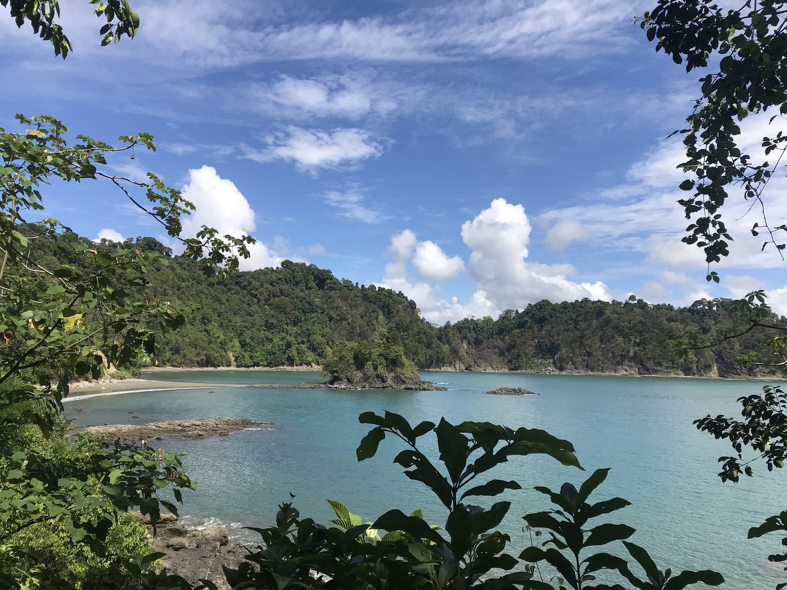
Sendero Perezoso — the name means “sloth” in Spanish, and it is not marketing. It is the wide, flat walkway closest to the entrance, and the trees over it are where guides look first.
No guide can promise you a sloth. What we can tell you is where the odds are highest, and that the odds go up sharply with a scope: a two-toed sloth 25 metres up in a ball of leaves is invisible to the naked eye and obvious through a Swarovski scope.
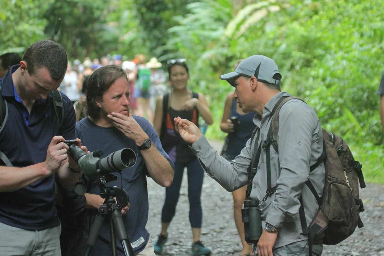
Early is everything. The gate opens at 7:00 a.m., and the first two hours are when the primates move and the heat has not yet pushed everything into the canopy. This table is what our guides report seeing most often, trail by trail — a probability, never a promise.
| Trail / zone | Most often reported | Best hour |
|---|---|---|
| Sendero Perezoso | Two-toed and three-toed sloths, howler monkeys, agoutis | 7:00–9:00 a.m. |
| Main trail and junctions | White-faced capuchins, coatis, raccoons, iguanas | 7:00–10:00 a.m. |
| Sendero Punta Catedral | Squirrel monkeys (titi), pelicans and frigatebirds offshore, crabs | 7:30–10:00 a.m. |
| Sendero Mirador | Toucans and aracaris in the canopy, hawks over the ridge | 7:00–9:00 a.m. |
| Beach edges (Manuel Antonio, Espadilla Sur) | Raccoons and capuchins raiding bags, hermit crabs, lizards | All day — and this is where the thefts happen |
Scarlet macaws are the exception people ask about most. They are occasional over Manuel Antonio, not reliable — some mornings a pair flies over and most mornings none do. If a macaw is the reason for your trip, that is a different tour and a different place.
SINAC’s published rules prohibit umbrellas, balls, camping tents and hammocks — plus food and drinks, alcohol, tobacco, weapons, pets, fishing or hunting gear, and firewood.
The food rule is the one that surprises people, and it is not bureaucracy: capuchins and raccoons have learned that a backpack means lunch, and a fed monkey becomes a bitten tourist. Bring water. Bring sunscreen and a hat. Leave the cooler in the car.
7:00 a.m. to 3:00 p.m., Wednesday through Monday. The park is closed every Tuesday, per SINAC.
Note the closing time carefully: 3:00 p.m. is what the official SINAC page states, and it is earlier than several tour sites claim. Plan your exit, not just your entry — you want to be walking out, not starting a trail, at 2 p.m. Not sure about your date? check whether the park is open today before you drive.
Comfortably: Perezoso plus Punta Catedral plus a swim, in about four hours. All 8 km of trail takes around five hours of walking, which is a long morning in Pacific humidity.
Most visitors do not run out of trail. They run out of water and patience around hour three. Half the map, walked slowly with someone spotting for you, beats the whole map walked fast.
Perezoso at 7:00 a.m., then Punta Catedral, then the beach. In that order, for one reason: the wildlife is on a clock and the beach is not.
Visitors who do it backwards — beach first because it is hot, trail later — see a quiet forest. The animals did not leave; they went up and stopped moving.
Sendero Perezoso is the accessible section: it is a wide, flat boardwalk, which is why SINAC refers to it as a vehicle-capable trail. Punta Catedral and Mirador are not — both involve steps and slopes.
So a visitor with limited mobility can absolutely do the highest-wildlife part of the park. Tell us before the tour and we build the route around Perezoso and the beach instead of the headland. Message us on WhatsApp with the specifics and we will tell you honestly what is and is not doable.
The trails themselves are safe and well travelled — here is the detail on each of the trails and beaches, with distance, difficulty and the tide rule. The risk on this map is not the forest — it is leaving a bag on the sand while you swim.
Raccoons and capuchins open zippers, and an unattended bag on Playa Manuel Antonio is the most common bad story visitors bring back from this park. Take what you cannot lose into the water with you, or leave it with your guide.
No — the trails are signposted and you will not get lost. What you will do is walk past most of the wildlife, because spotting a camouflaged animal at 25 metres is a trained skill and a scope is not optional equipment.
That is the honest trade. Go alone and you will have walked Manuel Antonio. Go with a naturalist guide and you will have seen it. Our Manuel Antonio National Park guided tour is $30 per person for the classic group, the park entrance ticket is separate, and we send you the 4K photos afterwards at no cost.
About 157 km — SINAC states 157 km and My Tan Feet 156 km — which is roughly three hours by car, or a Tracopa bus, a shuttle, or a short flight into Quepos.
The full breakdown, including parking and where to meet your guide, is here: how to get to Manuel Antonio National Park.
Seventeen years guiding this exact park, ICT-certified, Swarovski scope, free 4K photos. Classic group tour from $30 per person.
Book your Manuel Antonio tour for December 2026 · WhatsApp +506 8514 1361 — we answer in minutes, in English, and we will tell you straight if a date or a trail is not right for you.
Beach by beach: Playa Manuel Antonio is the sheltered cove where the water is usually calm enough for children. Playa Espadilla Sur is the wide beach on the other side of the Punta Catedral isthmus, and the one people confuse with the free public beach. Playa Gemelas and Playa Escondida sit past Punta Catedral and access has to be confirmed at the control point on the day.
Planning the whole visit and not just the trails? Our complete guide to Manuel Antonio National Park, Costa Rica covers hours, tickets, wildlife and the traps outside the gate.